BY PCC STAFF
FORT MADISON - With last week's winter storm fizzling out for the most part, another storm front with potential for wintry conditions Friday and Saturday could hit the area.
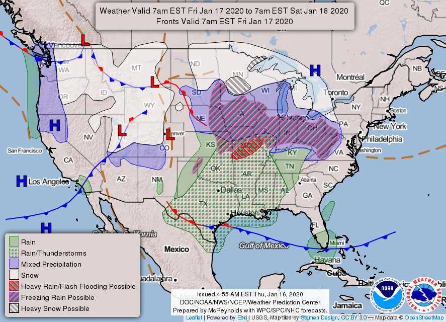
According to the National Weather service, Lee County is under a winter storm watch through Saturday for northeast Missouri, all of eastern Iowa including the local area, and northwest and west central Illinois.
Heavy mixed precipitation is possible with snow accumulations of two to four inches and ice accumulations of .1 to .2 of an inch. Local higher amounts of snow are possible. Strong winds are possible into Saturday morning with gusts up to 45 mph, again, making travel risky.
On Thursday, wind chills could dip in the 20 to 25 below range before noon, but rising temperatures will ease the bite as winds die down.
On Friday, mid-afternoon snow will transition into possible sleet and freezing rain south of Interstate 80, and by late evening mixed snow and freezing rain are expected to reach north of Hwy. 21. With the wintry mix falling, strong winds from the southeast may bring blowing snow and make travel hazardous over the watch area.
A strong cold front is expected to move into the area late Friday night switching precipitation back to snow through early Saturday morning bringing with it falling temps.
Afternoon and evening windchills could reach -20 degrees Saturday.


Comments
No comments on this item Please log in to comment by clicking here